


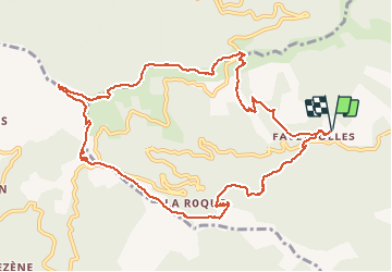

13.6 km | 21 km-effort


User


FREE GPS app for hiking
 SityTrail
IGN / Geographical institutes
SityTrail World
The world is yours!
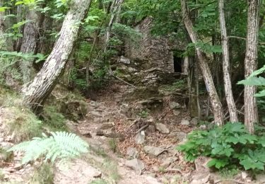
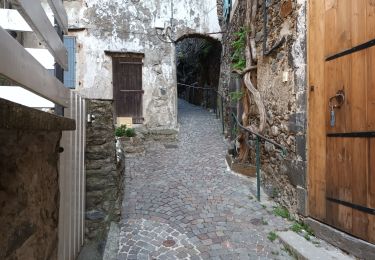
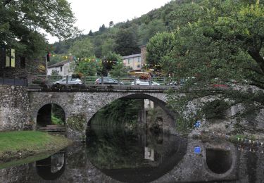
Trail Walking of 12.6 km to be discovered at Occitania, Gard, Les Plantiers. This trail is proposed by alainandrejoly.
30/10/2016
Faveyrolles - Le Pas - col de l'Espinas

Walking

Walking

Walking

Walking
Walking

Walking
Walking
Walking
On foot